GeoSpy Tech: Inside the Free AI Photo Geolocation Platform
If you've ever uploaded a photo to a website and gotten back a pin on a map telling you where it was taken — without any GPS data, without the photo existing anywhere online — you've used the kind of technology that GeoSpy tech is built on. It's a free AI photo geolocation platform that does something genuinely useful: it reads the visual content of any image and predicts where on Earth it was captured.
I've been using and testing GeoSpy since it launched, and I want to give you an honest, thorough look at what the platform does, how it works, what it gets right, and where it still has room to grow. No marketing fluff. If something doesn't work well, I'll tell you.
What is GeoSpy tech?
GeoSpy is an AI-powered photo geolocation tool that lives at geospy.tech. You upload any image — a screenshot, a photo from your camera roll, a picture you found online — and the AI analyzes its visual content to predict where it was taken.
The platform was created to solve a specific problem: the tools that could do this kind of visual geolocation either didn't exist for regular people, or they were locked behind enterprise paywalls. OSINT researchers had access to expensive commercial platforms. Academic projects like GeoEstimation existed but weren't built for consumer use. Meanwhile, millions of people every day look at photos and wonder "where is this?" — and had no good way to find out.
GeoSpy tech changed that by packaging advanced computer vision and geospatial AI into a simple web interface. No signup. No download. No credit card. You go to the site, upload a photo, and get an answer.
What makes it different from other tools
The photo geolocation space has gotten crowded. Here's where GeoSpy stands out:
Actually free, not freemium — Most competing tools offer a "free tier" that's really a teaser. PhotoLocation gives you one search per day. Picarta starts at $29/month. GeoSeer's free tier runs out fast. GeoSpy tech has no daily limit, no signup wall, and no feature gating. You can upload 50 photos in a row and it won't ask you for anything.
No account required — You don't need to create an account, verify an email, or connect a social profile. The tool works the moment you land on the page. This matters for privacy — no account means no data trail linking you to the photos you've uploaded.
Privacy-first image handling — When you upload a photo, it's processed in memory, the result is returned, and the image is deleted. It's not stored, not used for model training, not added to any database. This is a meaningful distinction from tools that retain your images indefinitely — always check the privacy policy before uploading anything sensitive.
Reasoning transparency — GeoSpy doesn't just give you a pin on a map. It shows you why it picked that location. You see which visual clues it identified — "detected Mediterranean architecture, Spanish-language signage, palm trees consistent with southeastern Spain" — which lets you verify the reasoning yourself rather than trusting a black box.
How GeoSpy tech works under the hood
The platform uses a multi-layer AI pipeline that's more sophisticated than simple landmark matching. The geospy AI engine processes images through several stages in those 5-10 seconds:
Layer 1: Feature extraction
The AI model scans the image for geographic signals. These include:
- Architecture — Building style, materials, roof design, window patterns. Art Deco, Brutalist, Bauhaus, Ottoman, Spanish Colonial — each style maps to specific regions and time periods.
- Vegetation — Plant species are geographic fingerprints. Palm trees point to tropical or subtropical zones. Pine forests suggest temperate or boreal climates. The specific variety of palm or pine narrows further.
- Signage and text — Language and script are among the fastest geographic filters. Cyrillic, Arabic, Chinese characters, Hangul, Devanagari — each eliminates most of the planet. Even within Latin script, "Farmacia" vs "Pharmacie" vs "Apotheke" vs "Pharmacy" tells you the country.
- Infrastructure — Road markings, traffic light orientation, utility pole designs, mailbox shapes, fire hydrant styles. These follow national standards and vary more than you'd think.
- Terrain and geology — Mountain ranges, coastline shapes, soil color, rock formations. Red laterite soil indicates tropical regions. White limestone cliffs suggest specific coastlines.
- Shadows and lighting — Sun position reveals approximate latitude and time of day. Combined with the date (if known), this can verify or rule out a location prediction.
Layer 2: Pattern matching
Once features are extracted, the model compares them against patterns learned from millions of geotagged images. The training data covers urban environments across 190+ countries, rural landscapes, natural landmarks, and infrastructure from around the world.
This is where the model's "knowledge" lives. It has seen what Tokyo streetlights look like, how Portuguese road markings differ from Spanish ones, what type of roof tiles are common in southern France versus northern Italy. When your photo's features match a cluster of patterns, the model knows which region those patterns belong to.
Layer 3: Prediction and confidence scoring
The final layer combines all signals into a location prediction with a confidence score. Multiple candidate locations are often considered — the model might initially consider "Spain, Italy, or Greece" before additional clues narrow it to a specific city.
The confidence score matters. A high confidence prediction (90%+) means the model found strong, consistent geographic signals. A low confidence prediction (40-60%) means the signals were ambiguous — maybe the photo could be in several different regions. Always check the confidence level before trusting a result.
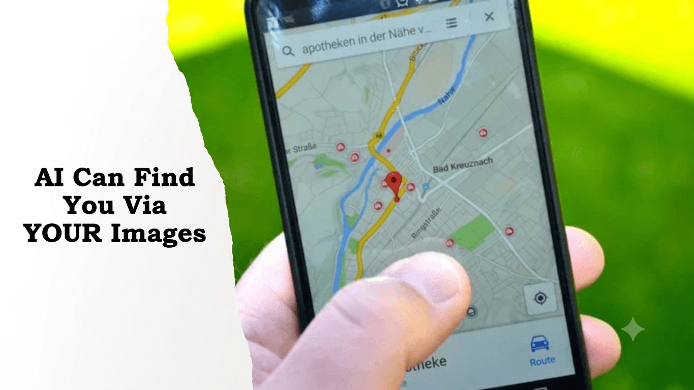
Using GeoSpy tech: step by step
The geospy photo location interface is deliberately simple. Here's the full process:
- Go to geospy.tech — works in any browser, desktop or mobile. No app to install.
- Upload your photo — Click the upload button or drag and drop. Supported formats: JPEG, PNG, WebP, HEIC. Maximum file size is typically 20MB.
- Wait for analysis — Usually 5-10 seconds. The AI processes the image, extracts features, matches patterns, and generates a prediction.
- Review the results — You get:
- Verify if needed — For important uses, cross-reference the predicted location in Google Maps Street View. If the street view matches your photo's architecture, signage, and terrain, you've got strong confirmation.
That's the entire process. No configuration, no settings to adjust, no model parameters to worry about.
What kind of photos work well — and what doesn't
I've tested GeoSpy tech on hundreds of photos across different categories. Here's an honest breakdown:
Photos where GeoSpy excels
- Urban street scenes with visible signage — The AI reads text, architecture, and infrastructure simultaneously. A street in a city with clear signage and distinctive architecture often gets pinned within a few kilometers.
- Famous landmarks and tourist sites — Near-instant, near-exact predictions. The Eiffel Tower, Sagrada Familia, Mount Fuji — these have such distinctive features that the model identifies them with very high confidence.
- Photos with distinctive natural features — A volcanic landscape, a unique coastline shape, a specific mountain range — these geographic signatures are strong signals.
- Rural scenes with regional architecture — Farm buildings, traditional houses, agricultural patterns — these vary significantly by region and give the AI strong signals.
Photos where GeoSpy struggles
- Indoor photos — A restaurant interior, a living room, an office — no geographic clues to read. The AI might guess a country based on interior design trends, but accuracy is very low.
- Close-ups and macro shots — A flower, a plate of food, a product photo — no environmental context means no geographic signals.
- Generic natural scenes — An empty field, open ocean, a cloudless sky — nothing distinctive enough to narrow the location.
- Low-quality images — Blurry, heavily compressed, or tiny resolution photos give the AI less visual data to work with.
- Highly generic urban environments — A glass-and-steel office tower could be in any major city. Without signage or distinctive architecture, the AI can't narrow it down.
The tools that claim to handle all of these cases perfectly are being dishonest. GeoSpy tech is upfront about its limitations, which is one of the reasons I trust its results more than tools that always claim 95%+ accuracy.
Real-world use cases
The platform gets used for more than just curiosity:
Travel planning — Saw a stunning photo on Instagram with no location tag? Upload it to find out where it is and add it to your trip itinerary.
Journalism and fact-checking — Newsrooms use AI geolocation to verify user-submitted photos. Does this flood footage actually come from the claimed location? Is this conflict photo genuine? The AI provides a starting point, and human analysts verify.
OSINT investigations — Open source intelligence analysts combine AI geolocation with manual techniques for verification work. Bellingcat and similar organizations use these methods to investigate events documented through social media photos.
Lost memories — Old family photos with no labels. A photo from 1987 — where was grandma's vacation? Upload it and the AI reads the architecture, vehicles, and signage to make a prediction.
Real estate and insurance — Verifying property locations from submitted photos. Checking if damage photos match claimed addresses.
Digital forensics — Law enforcement and security professionals use commercial-grade versions for evidence analysis. The geospy tool gives civilians and small organizations access to similar capabilities without the enterprise price tag.
Privacy: what happens to your photo
This comes up constantly, so let me address it directly.
When you upload a photo to GeoSpy, the following happens:
- The image is sent to the server via HTTPS (encrypted in transit)
- The AI processes it in memory to extract geographic features
- The prediction result is generated and sent back to your browser
- The image is deleted from the server — not stored, not archived, not used for model training
This is different from many competing tools. Some platforms retain uploaded images "to improve their models" — meaning your photos could end up in a training dataset. Others store images for undefined periods. Always read the privacy policy of any tool you upload photos to, especially if the images are sensitive.
What you should never upload: Government IDs, passports, financial documents, anything with personal information visible. Even with deletion policies, the transit period means the image briefly exists on a server. Use common sense.
For a deeper look at photo privacy concerns and how to protect yourself, our photo privacy guide covers the full landscape.
How GeoSpy compares to alternatives
I won't pretend GeoSpy tech is the only tool worth using. Different tools serve different needs:
| Tool Price | Best For | Limitation | |
|---|---|---|---|
| GeoSpy (geospy.tech) | Free&no signup | Quick lookups/casual use/screenshots | |
| GeoSeer | Freemium | Advanced OSINT workflows/video frames Free tier very limited requires signup | |
| Picarta | $29/mo | Aerial and satellite imagery Expensive for personal use |
For 90% of users, GeoSpy is the right starting point. It's free, it's fast, and it handles the widest range of photos. If you searched for "geospy free" to check whether it actually costs nothing — yes, every search is free with no hidden charges or upgrade prompts. If you need specialized capabilities — batch processing, API access, meter-level precision for professional work — then the paid alternatives earn their price. But for answering "where was this photo taken?" nothing beats free and instant.
FAQ
Is GeoSpy tech really free?
How is GeoSpy different from Google Lens?
Does GeoSpy store my photos?
How accurate is GeoSpy?
Can GeoSpy find the location of any photo?
Does GeoSpy work on mobile?
What's the difference between geospy.tech and geospy.ai?
Is it GeoSpy or geo spy?
Can I use GeoSpy for OSINT investigations?
Does GeoSpy work on screenshots?
Ready to try it?
Head to geospy.tech and upload a photo. The whole process takes less time than reading this sentence.