How-To Guides
Upload a Photo, Find Its Location Instantly — How GeoSpy Works
📅 June 24, 2026
✍️ By GeoSpy Team
⏱️ 6 min read
You have a photo. You don't know where it was taken. Maybe it's an old travel snapshot with no label, a screenshot someone sent you, or a mysterious image you found online. GeoSpy lets you upload that photo and find its location in seconds — completely free, with no signup required. Here's exactly how to do it.
TL;DR: Go to geospy.tech, drag and drop your photo, and within seconds you'll see the predicted location — country, city, landmark, GPS coordinates, and a Google Maps link. Try it now →
Step-by-Step: Find a Photo's Location with GeoSpy
1
Go to GeoSpy
Open geospy.tech in any browser — Chrome, Safari, Firefox, or on your phone. There's no app to download, no account to create, and no payment required. You'll see the upload area front and center.
2
Upload Your Photo
Drag and drop your image onto the upload area, or click "Browse Files" to select from your device. GeoSpy supports JPG, PNG, and WEBP formats, up to 10MB per image. The upload is instant — no compression delay or processing queue.
💡 Pro Tip: For best results, use clear, well-lit photos with visible landmarks, buildings, or distinctive features. Indoor selfies or close-ups of a blank wall won't work well — AI needs visual clues to work with.
3
Add Optional Context (Helpful!)
If you know anything about the photo — even just the continent, an architectural style, or the language on a sign — type it into the optional details field. This helps the AI narrow down possibilities and dramatically improves accuracy. Even vague clues like "somewhere in Europe" or "looks like Mediterranean architecture" can make a noticeable difference.
4
Get Your Results — In Seconds
Within 3–10 seconds, GeoSpy displays a complete location report:
- Country — the predicted nation
- City — the specific city or region
- Landmark — if a famous location is identified
- GPS Coordinates — precise latitude and longitude
- Confidence Score — how certain the AI is (0–100%)
- Google Maps Link — one click to view the exact location on a map
What Kind of Results Can You Expect?
GeoSpy's accuracy depends on the photo content. Here's what to realistically expect:
- Famous landmarks (Eiffel Tower, Taj Mahal, Sydney Opera House): ~95% accuracy — typically identifies the exact landmark and city
- Major city streets with recognizable buildings: ~85% accuracy — usually gets the city right, sometimes the neighborhood
- Generic outdoor scenes (suburban street, rural landscape): ~75% accuracy — may identify the country or broader region
- Indoor photos or close-ups of objects: Significantly lower — AI needs environmental visual clues
Read our full accuracy analysis with 100 real-world tests →
Tips for Getting the Best Results
After testing thousands of photos, here's what consistently produces the best location predictions:
- Use high-resolution photos. More pixels = more visual data for the AI to analyze. Photos below 800×600 often miss fine details.
- Make sure the photo is well-lit. Dark, shadowy images hide the visual clues GeoSpy needs.
- Include architectural elements. Buildings, bridges, monuments — anything with distinctive design or construction style.
- Look for text. Street signs, storefronts, billboards — the language and script narrow down the region instantly.
- Add context in the optional field. Even "somewhere in Southeast Asia" or "looks like European old town" makes a big difference.
- Try multiple photos of the same location. Different angles may capture different sets of clues, leading to better results.
Common Use Cases
Travelers: Finding Old Vacation Photos
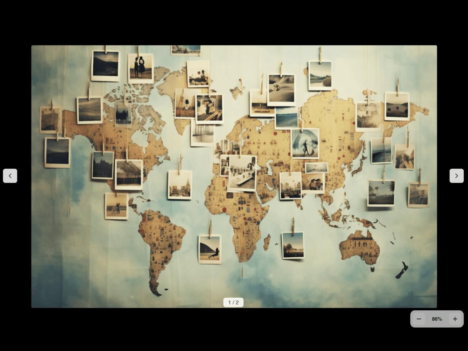
Found an old photo album or digital folder with unlabeled travel pictures? Upload each photo to GeoSpy and map out exactly where you were. It's like having a personal travel historian.
OSINT Investigators: Image Verification
Need to verify where a news image or social media post was taken? GeoSpy provides an instant first-pass location assessment — useful for initial investigations and fact-checking. (For mission-critical work, combine GeoSpy with other OSINT tools for verification.)
Journalists: Fact-Checking Images
Did a source claim this photo was taken in a specific location? Upload it to GeoSpy for an independent AI assessment. Learn how journalists use AI geolocation →
Curious Minds: Any Mystery Photo
Got a random photo from a friend, a viral social media post, or an old family picture? Satisfy your curiosity in seconds. GeoSpy is free, so there's no reason not to try.
Ready to Find Your Photo's Location?
Upload any photo now. It takes seconds, costs nothing, and requires no signup.
Frequently Asked Questions
Do I need GPS data in my photo?
No. GeoSpy works purely from visual analysis. Your photo doesn't need any metadata or location tags. In fact, GeoSpy is designed to work specifically with photos that have no location data — because that's the problem most people are trying to solve.
Is my photo stored somewhere after I upload it?
No. GeoSpy processes your image and immediately clears it from memory. Nothing is stored on servers, nothing is cached, and nothing is used for AI training. Read our privacy policy →
How many photos can I upload?
There's no limit. Upload as many as you want, as often as you want. GeoSpy is completely free with no usage caps.
What if the result is wrong?
AI predictions are estimates. If you get an inaccurate result, try: (a) a higher-resolution version, (b) cropping to focus on distinctive features, (c) adding more context in the details field, or (d) a different photo of the same location. See more troubleshooting tips →